
價格:免費
更新日期:2020-01-14
檔案大小:168.9 MB
目前版本:1.0.1
版本需求:系統需求:iOS 11.0 或以後版本。相容裝置:iPhone、iPad、iPod touch。
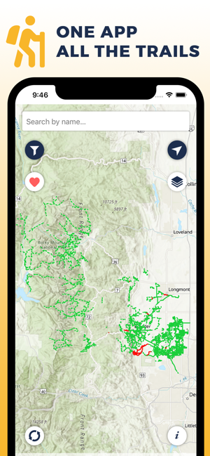
Boulder Area Trails is the OFFICIAL trails app for trails in and around Boulder and Broomfield counties.
** ONE APP FOR ALL THE TRAILS **
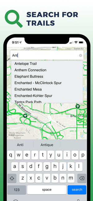
Provides a single source for all designated public recreation trails and trailheads in and around Boulder and Broomfield counties.
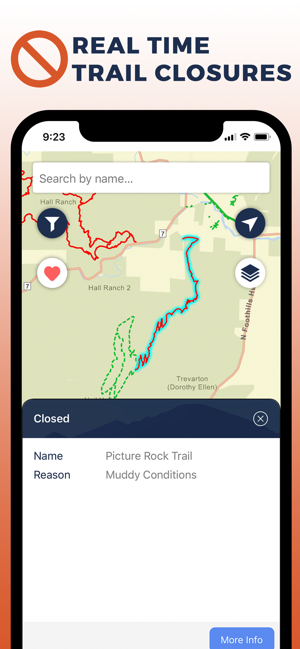
** REAL TIME TRAIL CLOSURES **
Trails closures are posted as soon as they are announced by each participating agency.
** OFFLINE MAPS **
The app will continue to work even when there is no cellular service. Please note that trail closures will not be shown while offline unless the app was initially opened while connected.

** SET FAVORITES **
Select your favorite trails and trailheads for easy access.
** PARTICIPATING AGENCIES **

- Boulder County
- City and County of Broomfield
- City of Boulder
- City of Lafayette
- City of Longmont

- City of Louisville
- Rocky Mountain National Park
- Town of Erie
- Town of Lyons
- Town of Nederland
- Town of Superior
- US Forest Service
** DISCLAIMER **
The information contained in the Boulder Area Trails Mobile Application is for general information purposes only. The Boulder Area Trails Project makes no warranties regarding the accuracy, completeness, reliability, or suitability of this map. The Boulder Area Trails Project disclaims any liability associated with the use or misuse of this application. In accessing and/or relying on this map, the user fully assumes any and all risk associated with the information contained therein.
